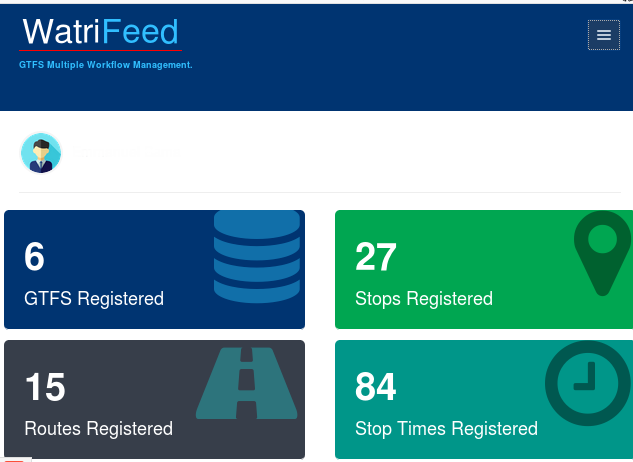
WatriFeed-GTFS-Manager: The OpenSource Collaborative GTFS Data Editor. WatriFeed is a collaborative web editor for GTFS data developed by the Data Transport project labs to standardize transport data for easy use in transport and mobility applications and services.
The GTFS “General Transit Feed Specification” data format is a standardized open data format for communicating public transport timetables and associated geographical information (network topography: stop locations, line layouts).
The GTFS format allows transit agencies and companies to publish data in a format that can be exploited and used in applications in an interoperable manner.
Watrifeed thus allows to create GTFS in a simple and collaborative way.
The editor is online and one instance is available for local deployment and use without the Internet, and allows :
-Alone or in team, build easily your GTFS feed.
-Manage multiple GTFS workflows.
-Import and update your GTFS feed quickly.
-Visualize your data with an embedded GTFS Data Visualizer.
-Import your data from OpenStreetMap for GTFS creation/conversion.
-Assert quality control, commit, then share your GTFS feed for instant utilization.


